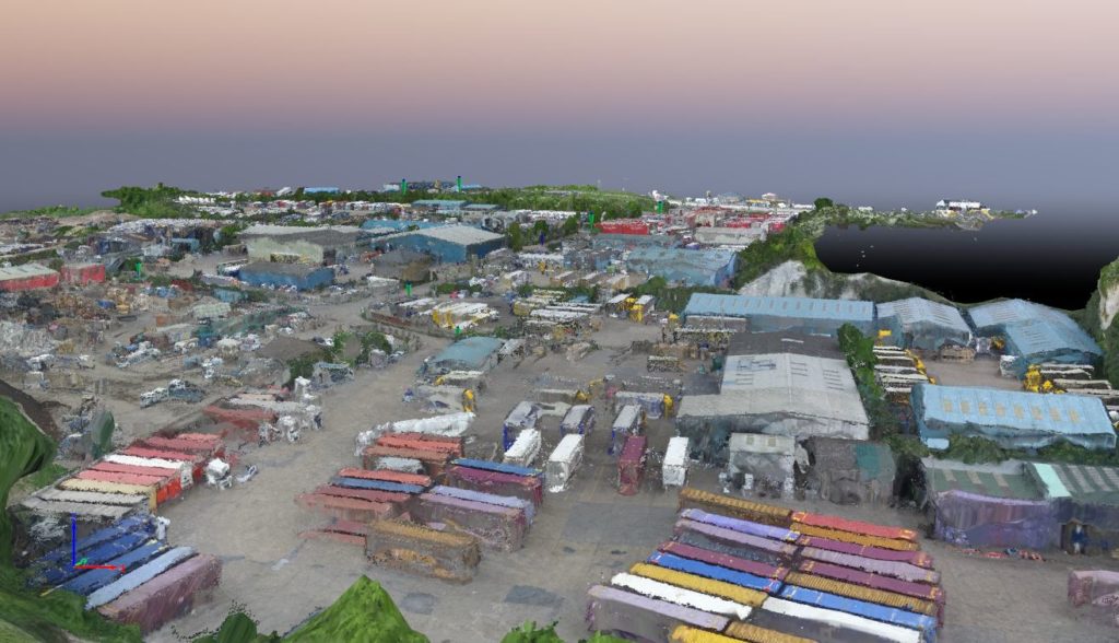
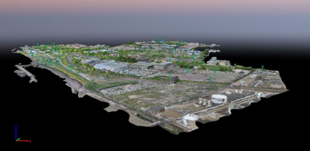
Working with Waterman Infrastructure & Environment and Thurrok Borough Council to map a large industrial site in Purfleet, Essex, Bee Aerial completed aerial surveys to provide detailed, high-resolution models using a Phantom 3 drone and Pix4Dmapper image-processing software. The surveys will be used to plan and direct a wide scale regeneration project in the area.
Client Waterman Infrastructure & Environment Ltd and Thurrok Borough Council
Site Purfleet, Essex
Date May 2016
Number of images 1,395 calibrated, geolocated images; 33,003 keypoints per image
Project size 1.0268 km2 / 253.867 acres covered
Ground Sampling Distance (GSD) 2.54 cm / 1 in
Project
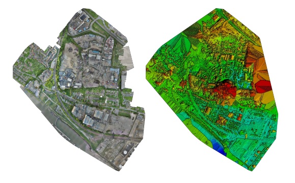
The aim of the project was to map a large industrial site in Purfleet, Essex for a redevelopment programme, using high-resolution aerial imagery to obtain a high density point cloud and an extremely high resolution orthophoto.
Due to difficulties of access over the expansive location, particularly around the riverside, large areas would have been inaccessible on foot or otherwise difficult to capture using traditional surveying technology, meaning that surveying by drone offered a highly effective alternative.
Data Capture
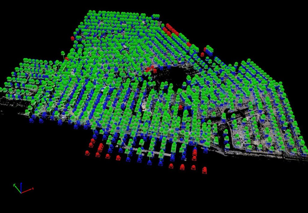
• Drone used: Phantom 3
• Making 10 flights of 15 minutes
• Taking 1,395 calibrated, geolocated images
• Capturing 33,003 keypoints per image
• Covering 253.87 acres / 1.03 km2 / 0.40 sq mi
Because of the industrial nature of the site, strict safety precautions were observed throughout the flights, ensuring controlled takeoff and landing zones, and an agreed area of operations with the management team overseeing the site as a whole.
Results & Accuracy
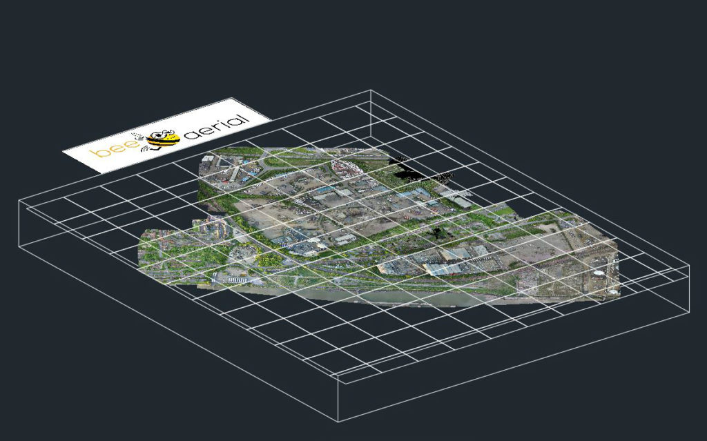
Bee Aerial delivered a high density point cloud in AutoCAD Civil 3D, mapped to an extremely high resolution orthophoto. This included 2,734,311 3D keypoints, georeferenced for longitude, latitude and altitude, while the high resolution ensures easy interpretation, for example, differentiating structures from cars or trees. Bee Aerial marked 43 GCP targets using traditional GPS techniques to ensure the accuracy of the survey. The overall survey had a mean RMS error of 0.074 m.
Key benefits
• Viability Due to difficulties of access, large sections of the site would have been impossible to survey by traditional, ground-based methods. Using drones Bee Aerial was able to provide excellent positional accuracies, and to easily reach the entire site, delivering far more useful information than could be delivered by out-of-date processed satellite imagery.
• Speed and price Ground-based surveys using GPS RTK would have taken several months to capture an equivalent dataset to what Bee Aerial was able to deliver, at a cost of around £30,000 – or 10 to 20 times the cost of this project.
• Results Bee Aerial was able to deliver extremely high quality results, surveying the 253.87 acre site at a resolution of 2.54 cm per pixel with an RMS error of 7.4 cm.
If you would be interested in carrying out aerial surveys just get in touch with us at info@beeaerial.co.uk or call on +44 (0) 333 772 0728.


