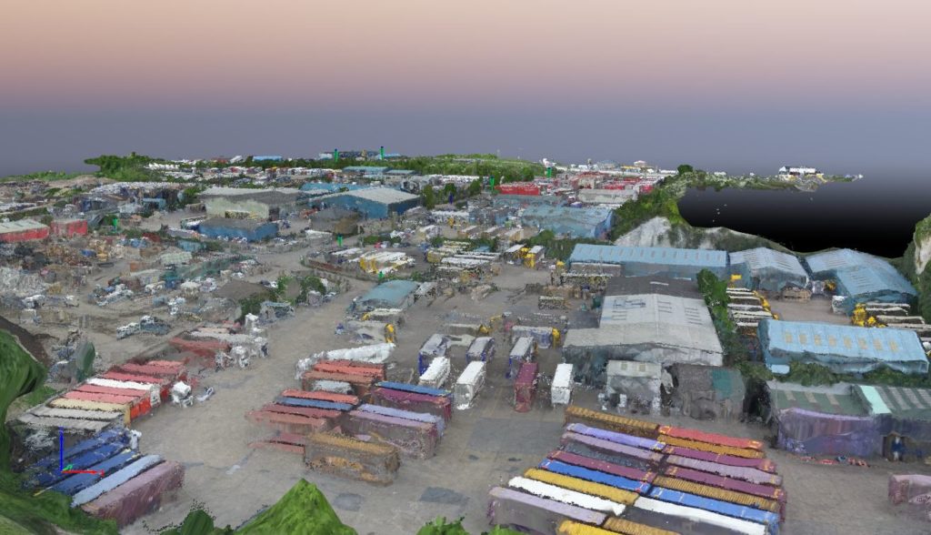
Working with Waterman Infrastructure & Environment and Thurrok Borough Council to map a large industrial site in Purfleet, Essex, Bee Aerial completed aerial surveys to provide detailed, high-resolution models using a Phantom 3 drone and Pix4Dmapper image-processing software. The surveys will be used to plan and direct a wide scale regeneration project in the area. […]

